AI TOOL / #08666
Flypix
A geospatial AI platform for Earth observation data that provides object detection and analysis.
Introduction
Geospatial AI platform for object detection and analysis on Earth observation data.
What is FlyPix AI?
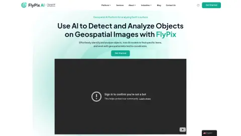
FlyPix AI is a geospatial AI platform that allows users to detect and analyze objects in geospatial images. It enables users to easily identify and analyze objects, train AI models to locate specific items, and process geospatial data associated with coordinates. The platform requires no prior knowledge of AI or machine learning.
How do I use FlyPix AI?
Users can upload geospatial images to the FlyPix AI platform, use the interactive sandbox to explore features, manually annotate objects to train custom AI models, and then use these models to automatically detect objects in new images.
Core Features of FlyPix AI
Object Detection and Analysis in Geospatial Images
Train AI models without any programming knowledge
Interactive Sandbox for Exploring Capabilities
Geospatial data associated with coordinates
Supports multispectral data
Train AI models without any programming knowledge
Interactive Sandbox for Exploring Capabilities
Geospatial data associated with coordinates
Supports multispectral data
Related
Bridge
A meeting workspace where humans and intelligent agents can collaborate together during meetings.
cuttlefish
The English paper writing tool developed by the Little Green Whale team
AppJet
Free full-stack AI development platform
Cuddler
AI Interactive Stories and Short Plays Platform
VibeMV
One-click generation of AI music videos upon uploading songs
Operation SANDLINE
A single-player tactical FPS game built using Three.js, supporting five different maps, robot battles, and touch controls on mobile devices. The game requires the loading of external resources, but the complete gameplay can be experienced directly in the web version.